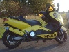
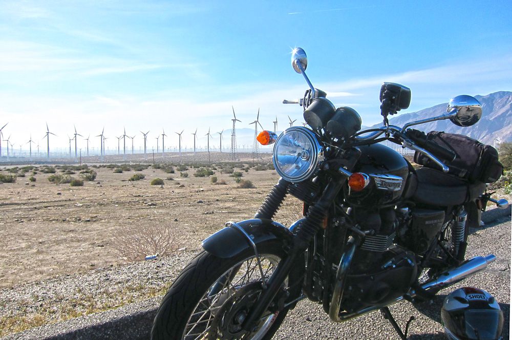
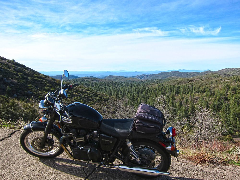
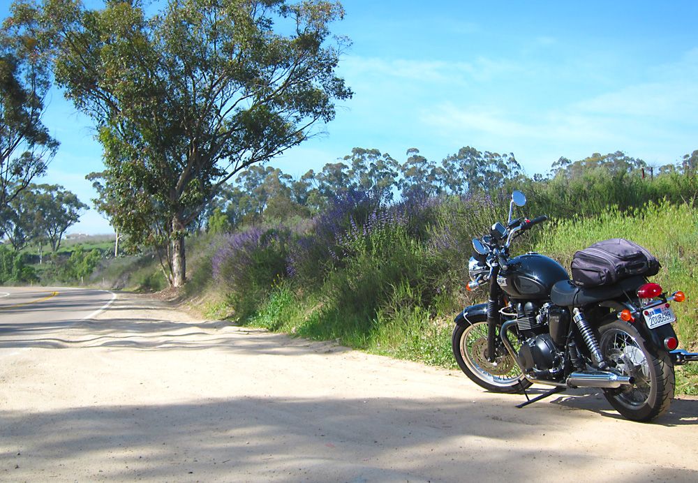
Here is some info about EagleRider San Diego.  It's a good shop, the folks there are very straightforward and quite friendly, even helpful.  Their choice of bikes is limited to mostly Harleys and they seem to focus on Harleys, fortunately for me they added two Triumphs to their stable recently, a Thruxton and Bonneville T100.  I chose the Bonnie.  It had 18k miles on it and was just a little beat up, scuffs and such but the motor was strong.  It did have a mild backfiring issue, I joked to myself they did it so if fit in more with the Harleys in the fleet.  Also was ornery when trying to start it a few times, luck was on my side though as she never let me down.
Day 1, 172 miles: EagleRider San Diego to Banning, CA  - highlights, Palomar Mountain, Lake Henshaw and the mountains of HWY 74 -
Map - http://goo.gl/maps/xQLRo
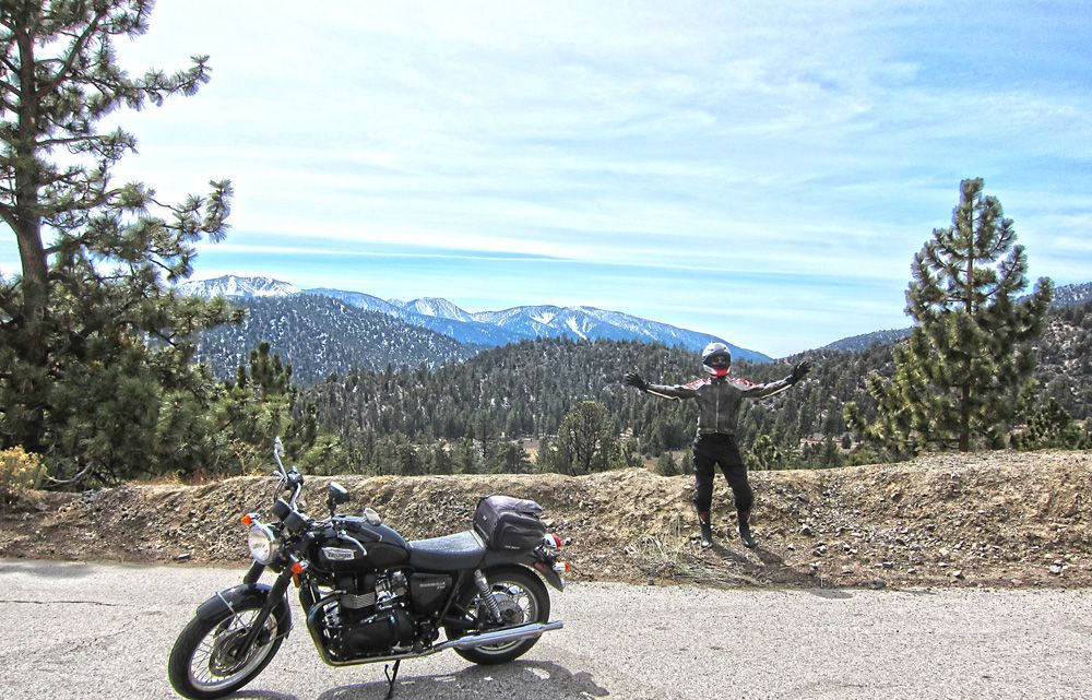
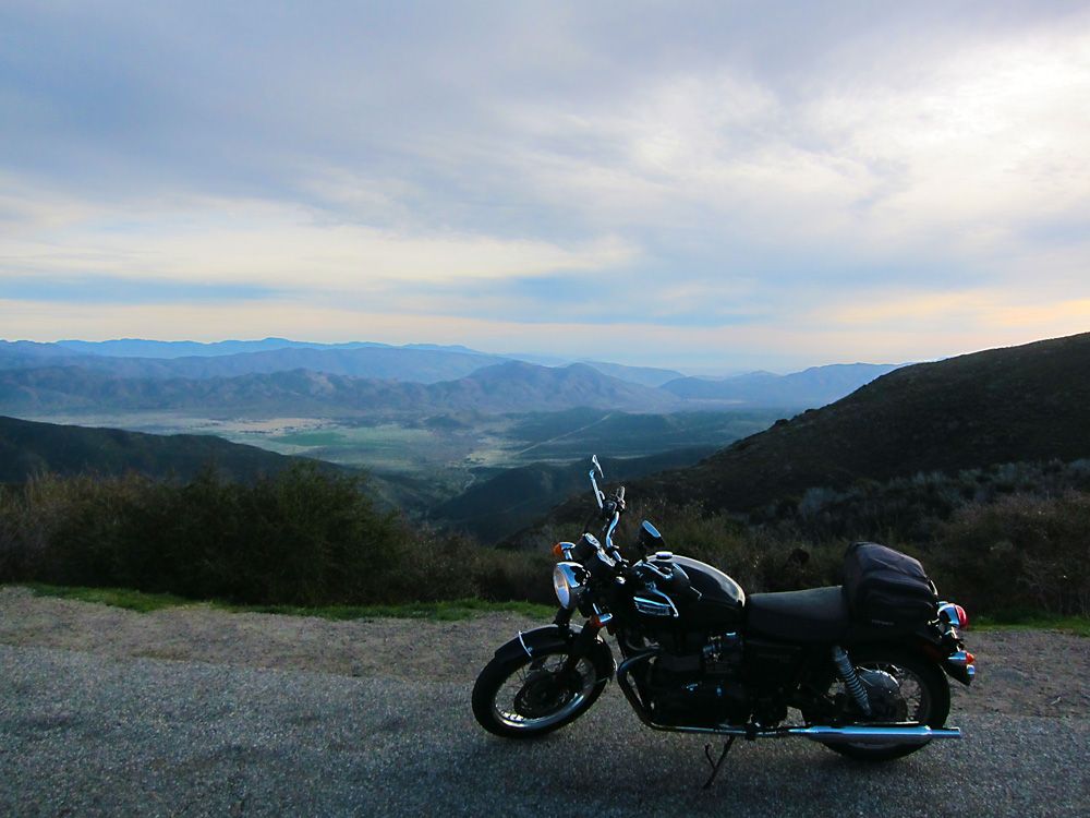
What are you looking at?  Let's get this party started!
First stop on Palomar Mountain.  I heard the whine of four cylinder sport bikes in the distance and the sound was getting closer.  I hopped off my bike and scrambled to get my camera, didn't have time for the zoom but was able to get this shot.  These guys were good, effortlessly guiding their bikes around the corners.  Looked cool too, one all in black the other in white both bikes and gear.  They lapped me three times as I rode to the top.
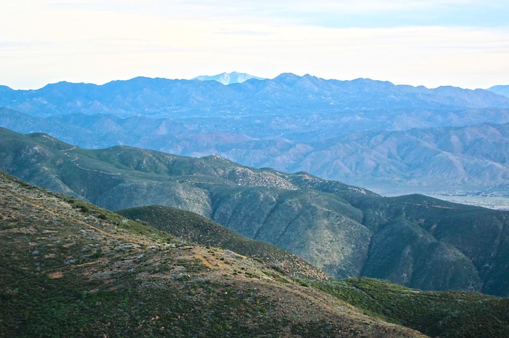
A view from one of the many turnouts on Palomar Mountain.  I saw two large Harley baggers winding their way up and thought to myself, God bless em', if they can make it up those roads they will have some spectacular views.
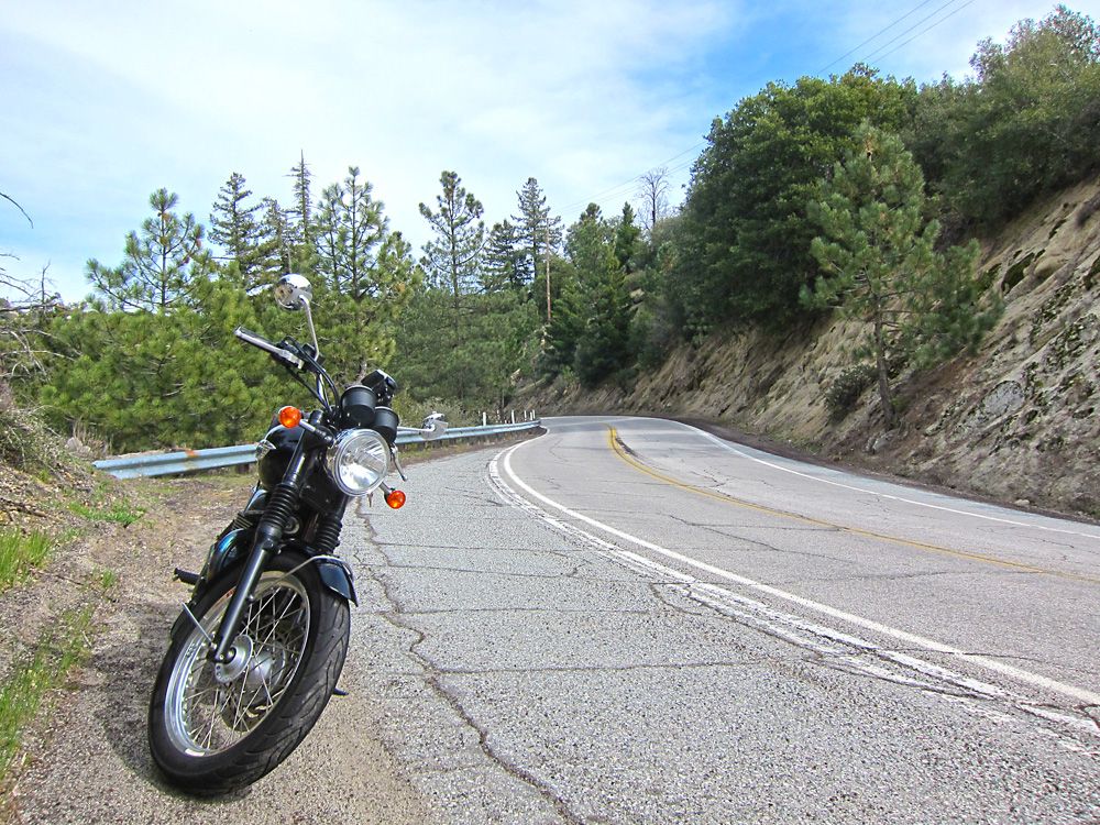
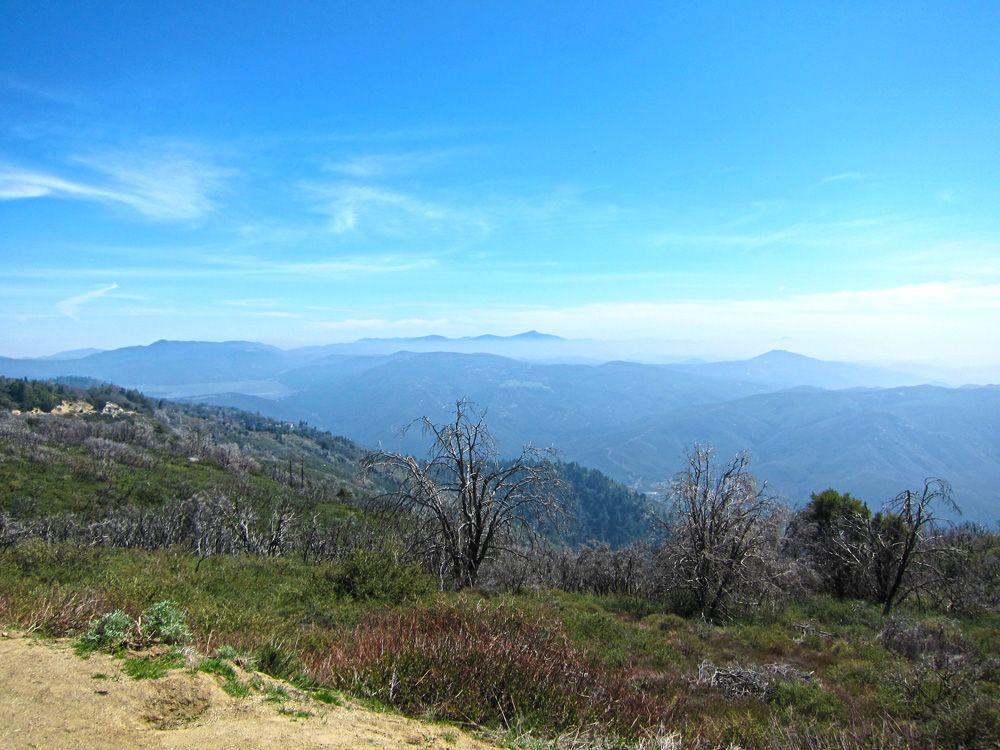
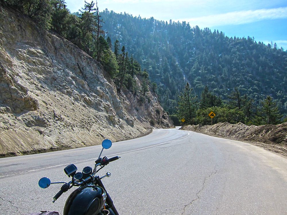
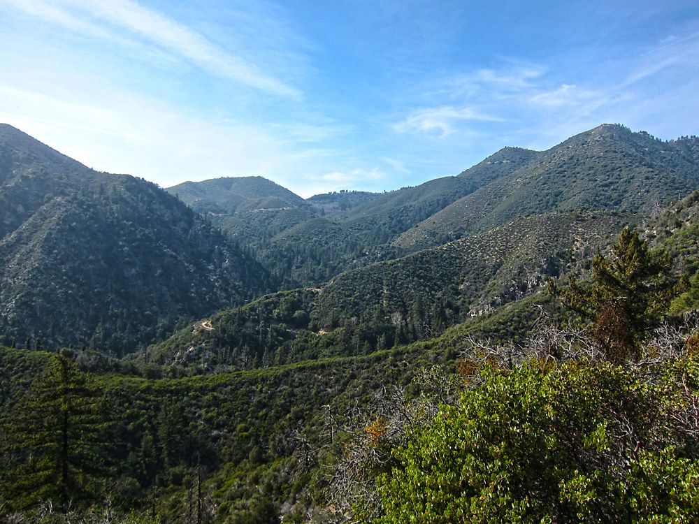
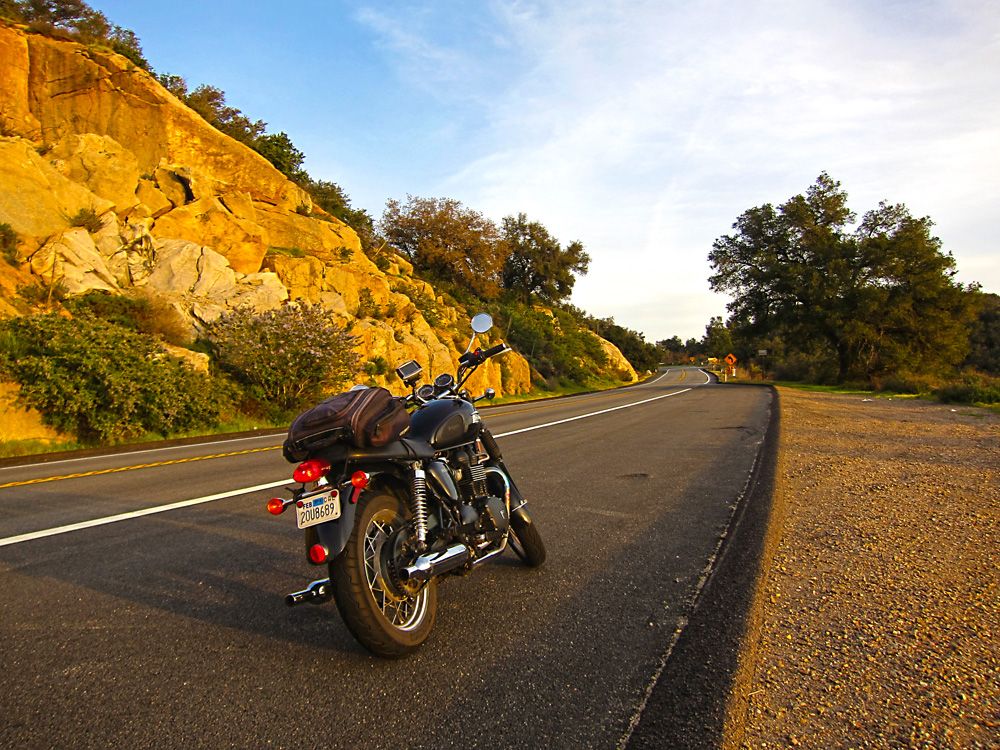
Hwy 74 near Idyllwild.  I say near Idyllwild because there isn't much else up on the mountain but truthfully it's not that close.  This road is scary fun with it's twists and turns along the mountain.
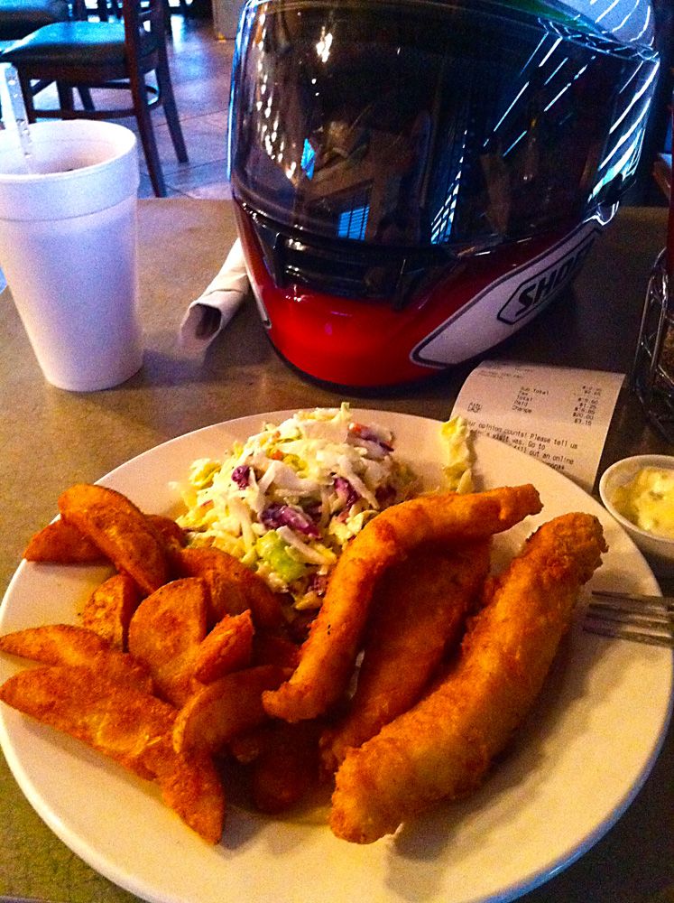
Got to Banning where I was staying that evening earlier than I expected.  I had forgot to change the time zone on my gps and was concerned I was running out of daylight.  I still had close to three hours to burn.  Anyway, with the help of the hotel front desk I picked this cool little seafood restaurant, Fisherman's Express.
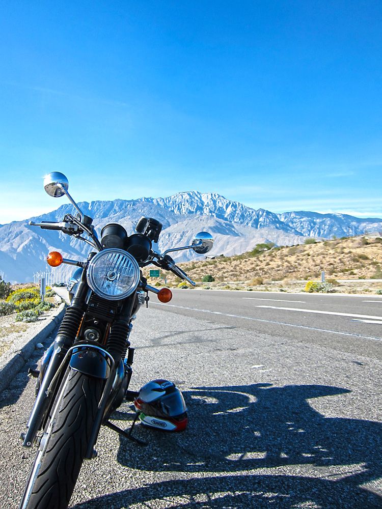
Day 2, 322 miles: Banning, CA to Julian CA  - highlights, Morongo Valley, Joshua Tree National Park, Big Bear, Idyllwild, Julian -
Map - http://goo.gl/maps/5R5q6
First stop on day 2 was in the Morongo Valley.  It's a mundane area that is punctuated with beautiful mountains in the distance and a huge wind farm.
The wind farm must have been generating a lot of power that day, I experienced strong gusts that blew me across the open highway.
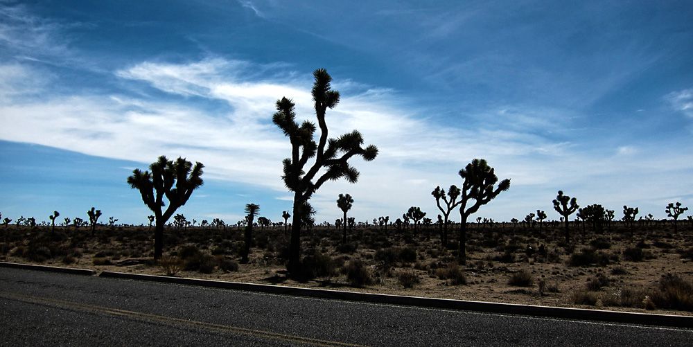
I had it in my head that I was going to visit Joshua Tree National Park on this trip.  I don't know why, maybe I just liked the sound of the park's name.  So glad I did, it's beautiful, serene and even a bit spiritual feeling at times.  It does cost money to enter the park but a mere $5 is completely worth it.  I've squandered more money for much less.
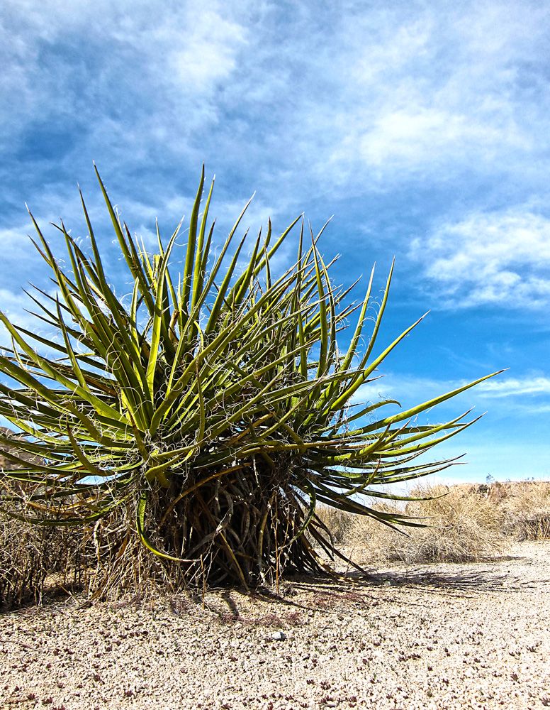
I found a lot of the plants very interesting.
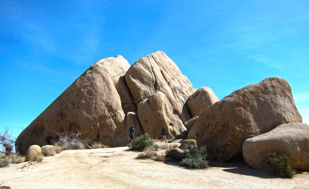
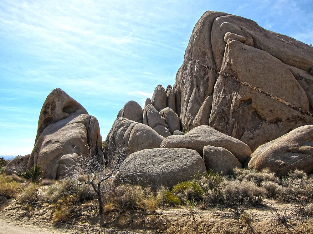
The Joshua trees are cool but the rock formations were really the star of the show for me.  Look closely and you can see two people walking along the boulders, it will give you an idea of the scale.
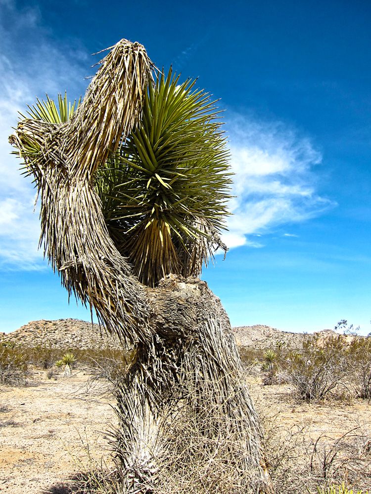
Some more desert plants... or is it a tree?
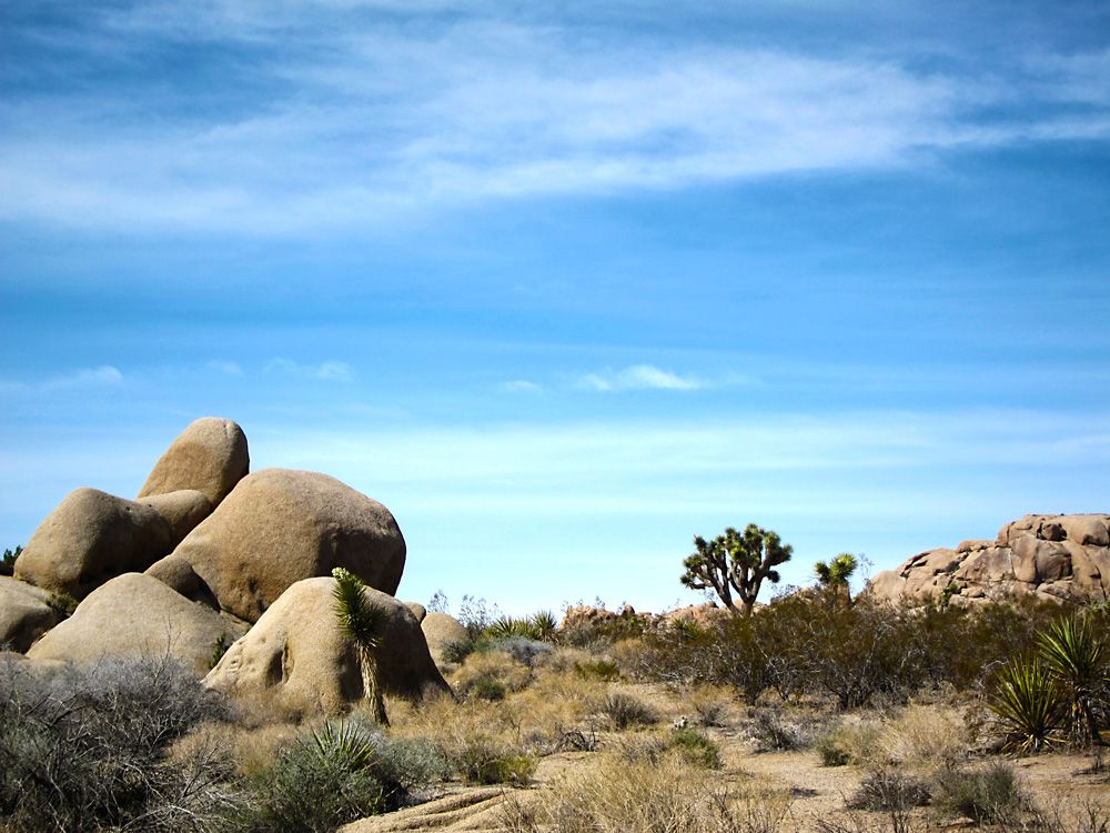
There are many pull-offs in the park allowing visitors to hike and explore.
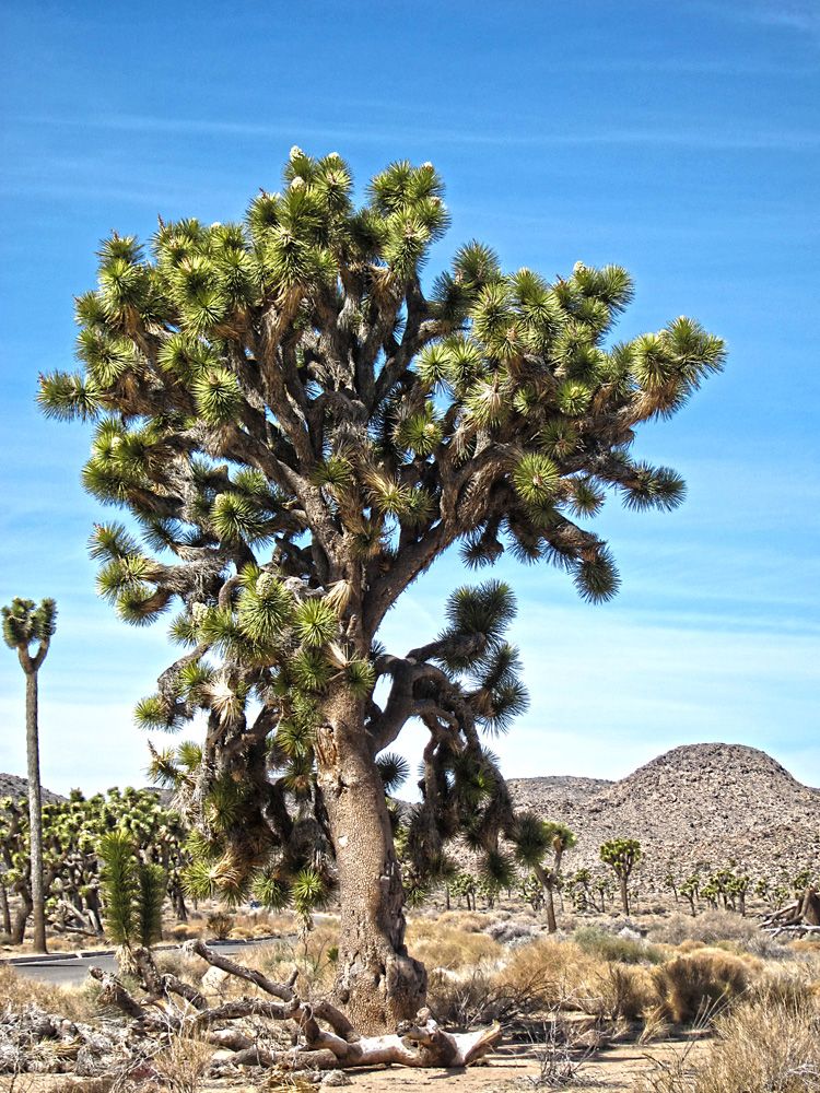
The one plant that I know the name of, the Joshua tree.
I've read and listened to people who say there is something very clean about being in the desert.  Not quite sure I get that but it sure is peaceful, the mind relaxes.
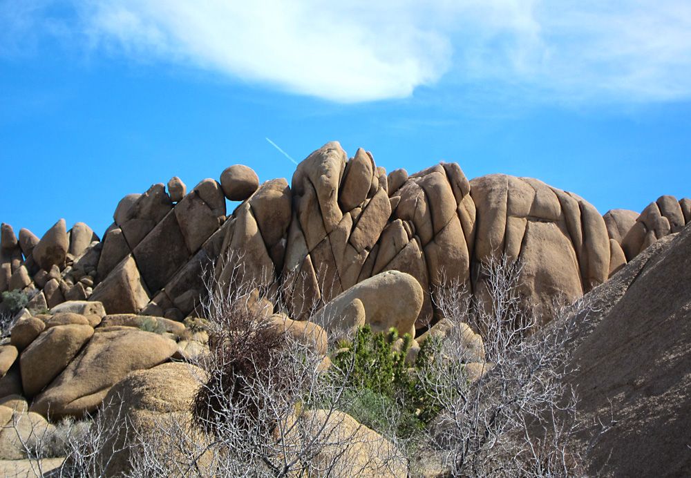
Just loved this formation of rocks.  Look along the top at the round boulders that are balanced between the point tips.
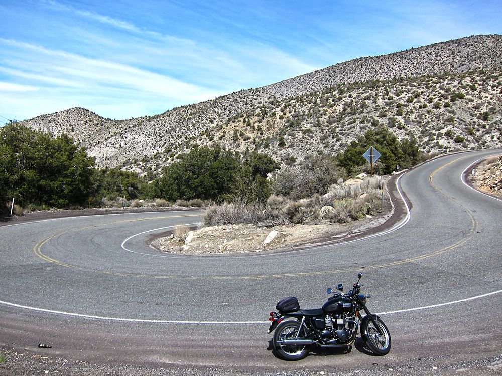
I left the park and raced down Hwy 247 between Joshua Tree and Big Bear.  I was meeting Hunter, a member of the Nighthawk Forum and I had a late start as I was waiting for the morning haze to burn off a bit.  I didn't stop for any photos along Hwy 247 but now I wished I did.  It isn't pretty like Joshua Tree but it is long, flat and desolate, intriguing in it's monotony.  I turned up the north face of the mountains towards Big Bear on CA-18.  Just check out the twists and turns in the photo of my ascent.  These types of roads and others just a bit less demanding were a common occurrence on my ride.
Finally met up with Hunter in Big Bear.  I had recommended meeting in Baldwin Lake where I would stop for gas... no gas stations in Baldwin Lake.  Should have listened to Hunter all along.
Our parallel twin brutes parked side by side.  His was a 450 while mine was something closer to 800cc's didn't matter on the curves as Hunter showed me how great he could handle his Nighthawk with me struggling to follow.
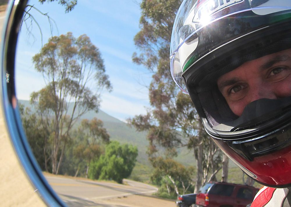
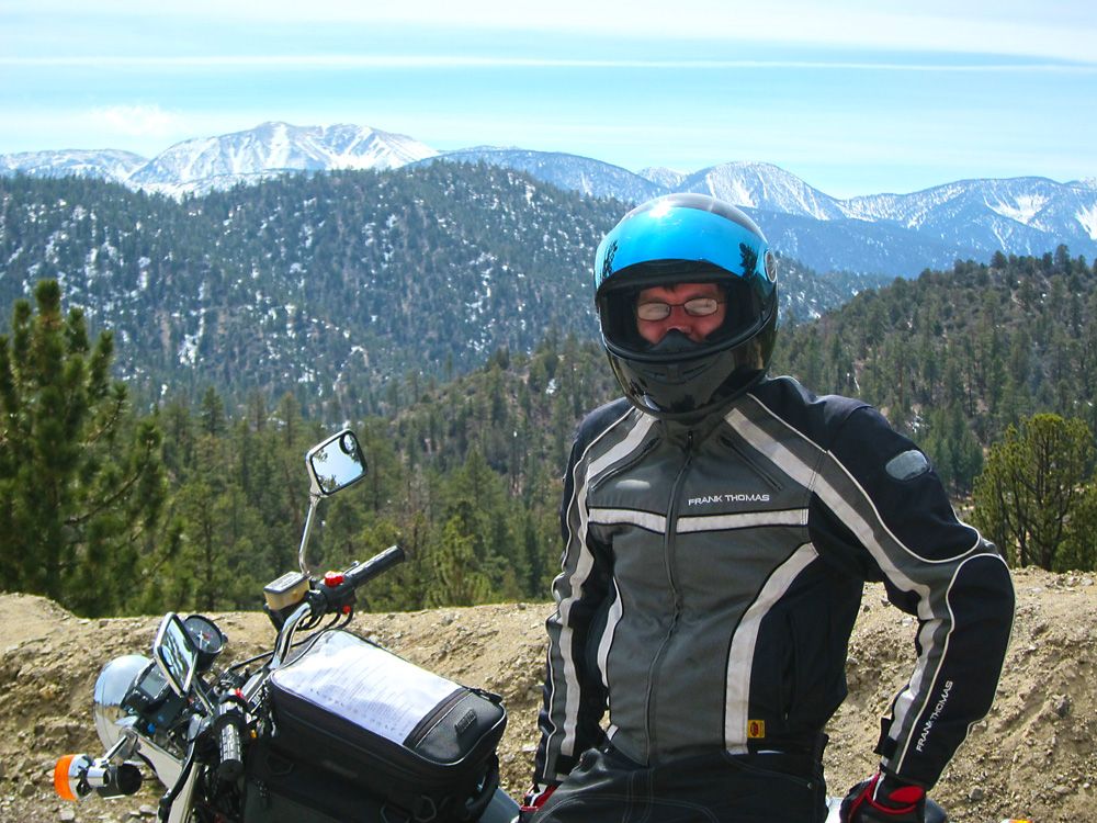
Here I am acting the fool for the camera.  If you can look beyond my stupid pose check out the snowy mountains in the background.  Can you believe just an hour ago I was in desert.
This is a view of CA-38 as it leads out of Big Bear/Baldwin Lake back to the valley.  It is amazing!  My photos will not do it justice nor will my words, sorry.  Imagine a 8000 foot descent with sweepers that you can take at 60mph until the last third where the road tightens up quite a bit and you need to drop gears and engine break through the tight stuff.  With mountainous views the whole way and hardly a car in sight the ride is breathtaking.  You have to watch the road or there will be trouble.
Some more views of the Big Bear area.
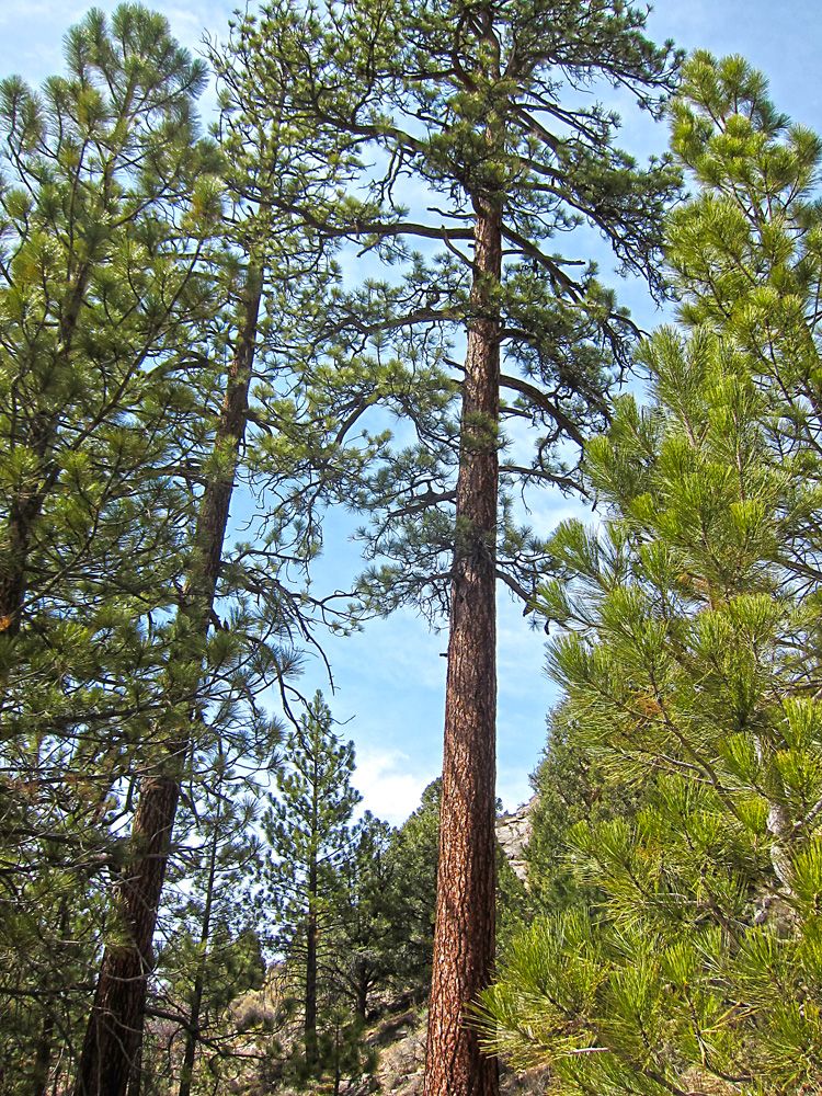
Another tree, I think this is a pine of some sort.
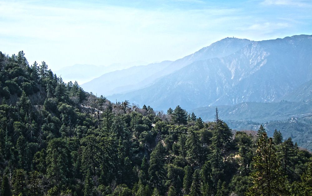
More mountainous views, a common theme for my riding adventure this time.
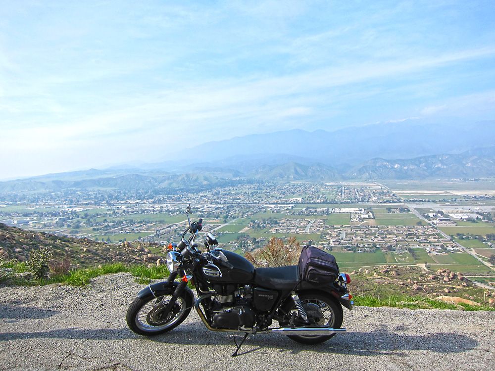
We hit the valley floor and rode through some suburban/urban areas, blasted down the freeway back through Banning and made our way up towards Idyllwild along Hwy 243.  The highest elevation is somewhere in the 6,500 foot range.  This is a view of Banning, my hotel from last night was down there somewhere.
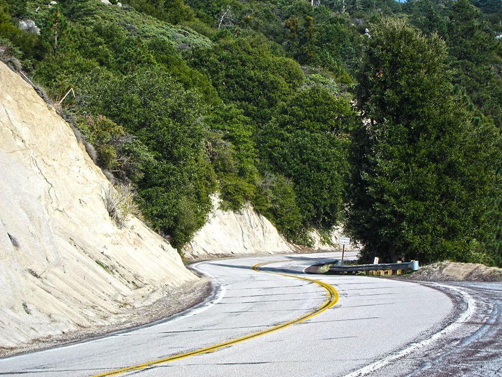
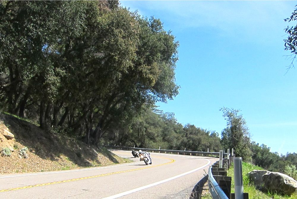
One of the better shots of the twisty roads that are abound in the area.
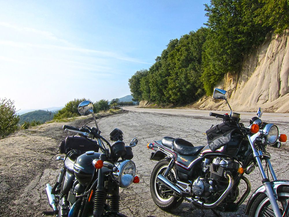
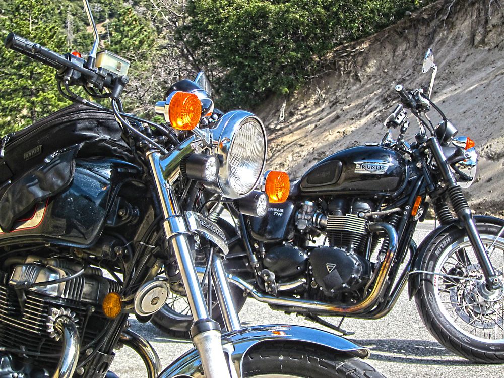
I thought our bikes looked nice together and the view is pretty good too.
This is where Hunter and I said goodbye.  He was such a good sport to make the time to meet and ride a bit of the journey with me.  An excellent rider and a better person I think.  Thanks Hunter!
Just over an hour has passed since Hunter and I split.  The sun was starting to set and while it looks warm this was the first time during the trip when I started to feel real cold.  I was only a few miles to Julian, my nights stay, but those miles seemed to last an eternity.
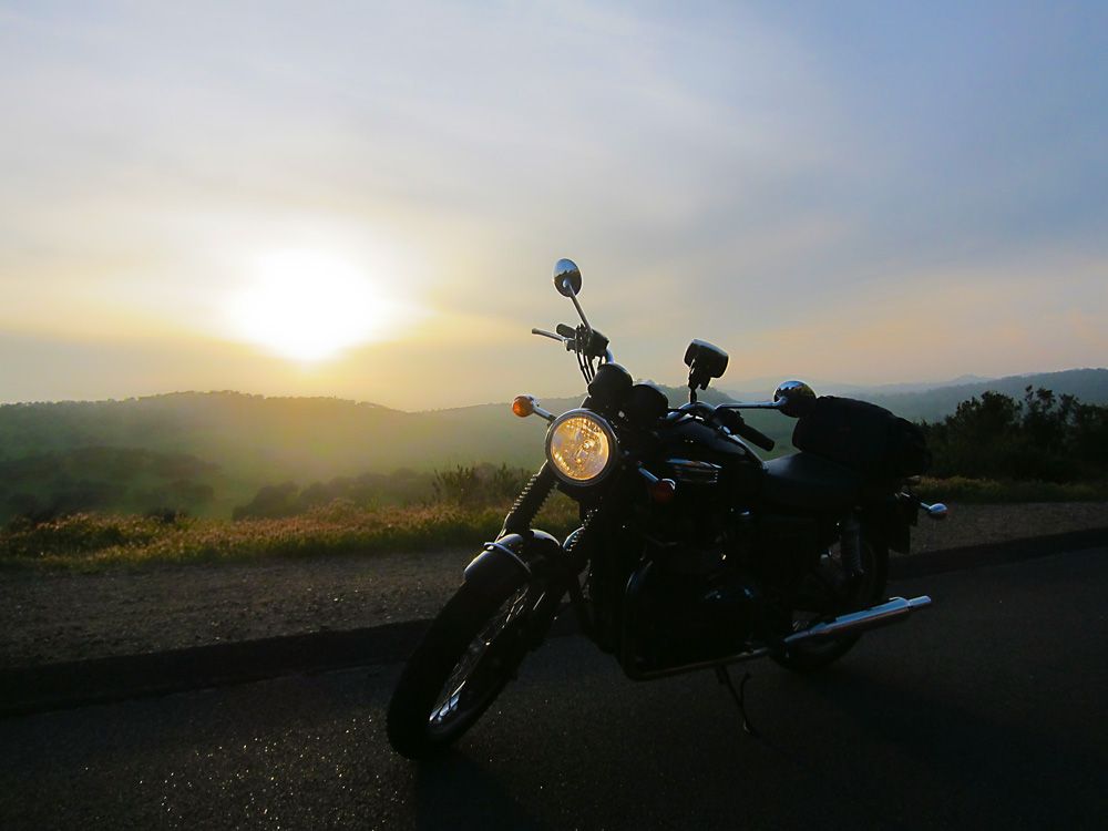
My favorite image from the trip.  Even though it was cold and getting dark it was worth it to get this photo.  I'm only five miles from the lodge now.
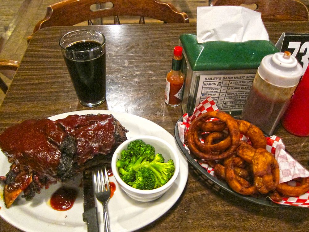
Another restaurant recommendation.  I'm sure the food here is usually very good.  I came in just as they were starting to break down for the evening.  The ribs were a bit overcooked, the onion rings burnt and the beer was flat, still tasted good an check out those veggies.  My broccoli was steamed to perfection.
Day 3, 113 miles: Julian, CA to San Diego EagleRider - highlights, The Sunrise Highway, Cleveland National Forest, Lake Otay -
Map - http://goo.gl/maps/VVhmR
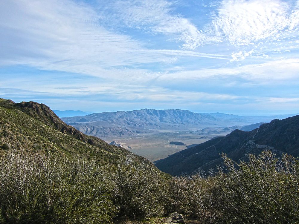
I got a good jump onto the road this morning which was great, it meant I didn't have to rush.  This lookout was only a few miles out of Julian.  Beautiful vistas of the surrounding mountains and valleys.
More mountains.
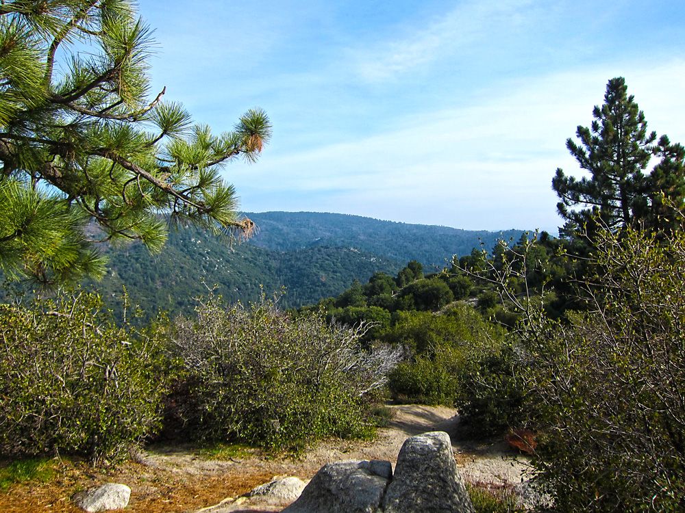
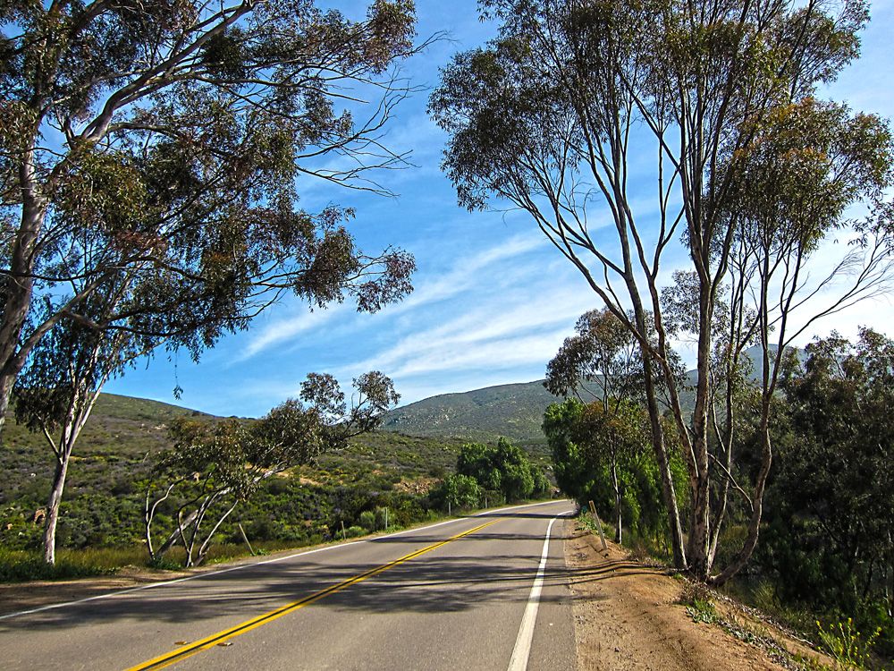
The start of the Sunrise Highway.  Great road, less technical than what I had experienced so far but you need to stay on your toes.  The landscape changes dramatically here as well.  From this scrub land you see in the photo to high desert and finally pine forest.
More great views.
A beautiful shot of the Cleveland National Forest.  You don't have to pay to enter this National Forest like you do for Joshua Tree however, if you decide to stop your vehicle you will need a pass.
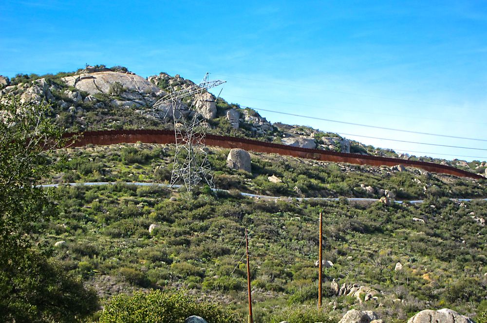
Traveling along the border.  My phone thought I was in Mexico and the AT&T wanted to charge me accordingly, I was close but still stayed on this side of the fence.  That brown wall in the photo is the border wall.
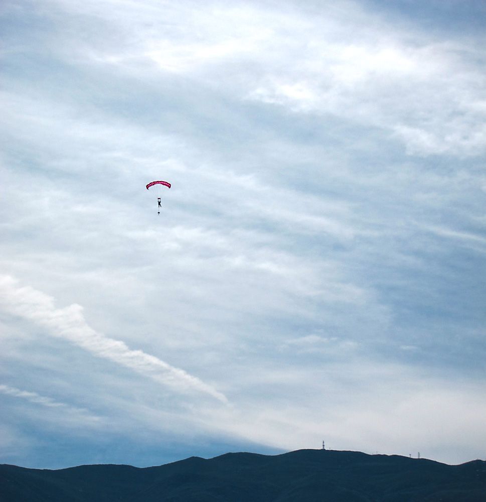
Caught some folks skydiving.
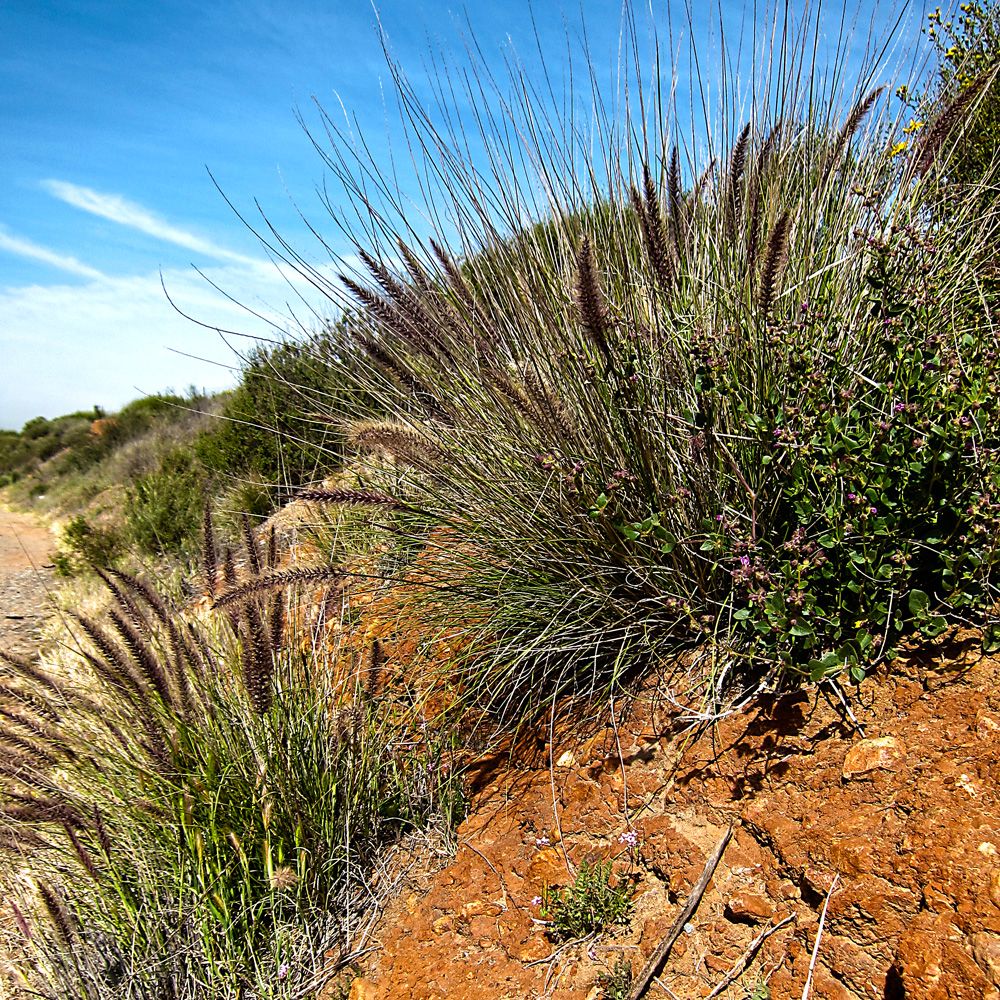
Another interesting plant.  There is a road as you ride out of the Cleveland National Forest named Camp Road.  I don't have any photos, other than the border wall, of the area but it is amazing.  A lot of elevation, tight twists, moderate traffic and plenty of sights.
Taking a breather along Otay Lakes Road.  Soon I will be heading back into the urban sprawl of San Diego and a nice little rest will get my mind right.
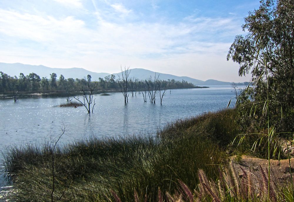
Lower Otay Lake.
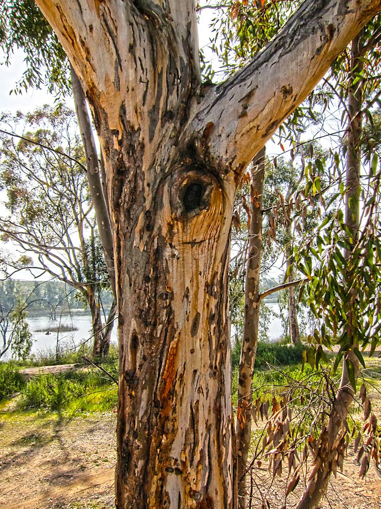
Interesting texture to this tree.  Most of the bark is stripped off or this is the natural state of the tree.
Heading out, in a few miles I will reach Coronado Island and then a short hop down the expressway and back to EagleRider to return the bike.  That's a nice bit of morning riding.
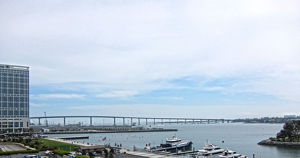
Had to get one shot of the bridge leading off Coronado Island.  I've been on taller and longer bridges than this one but I had the heebie jeebies for a bit of the crossing.  There really isn't much of a sidewall on the outside lanes or a safety area.  If you're like me stay on the inside lanes, you'll thank me.
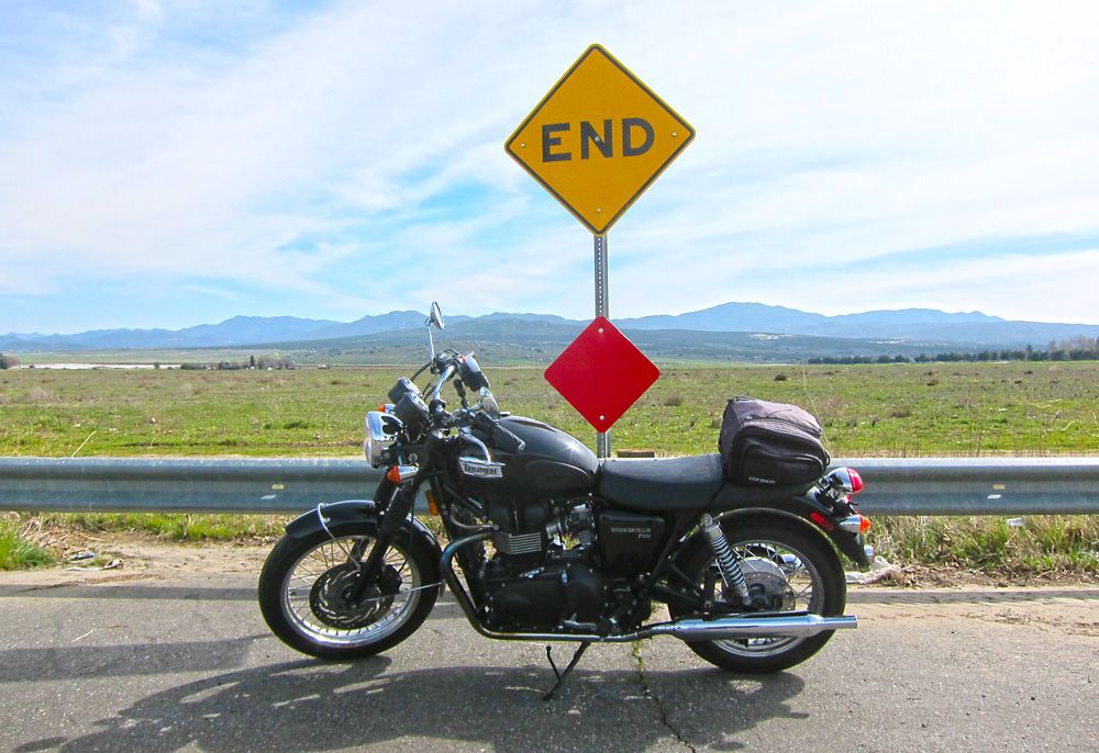
The End.
So that's it, my adventure and it was a great one.  Those who live in California already know this but for the rest of you who either only visited the cities or have never been, I believe California is one of the best if not the best riding environment in the US.  It's true I haven't been everywhere so it's a bit of an ignorant boast but it will be hard to top.  While riding I was thinking of my old mountain bike trails back in Wisconsin, we had two famous tracks of amazing and windy trails.  The secret was the connector trail between the two large trails, it was just as exciting as the destination trails and that's what I experienced California, the destinations were great but the roads in-between were almost equally amazing.
There is so much more to tell, if I remember and it seems worthy I will add it.  Hope you enjoyed the show!